| Topic: | “Playing with spatial gradients” – but how? An introduction to GIS-based approaches using raster data |
|
| Instructor: | Dr. Janek Walk1 1Chair of Physical Geography and Geoecology, RWTH Aachen University |
|
| Date: |
08. & 09. July 2021 |
|
| Time: | 1-5 PM (CET), breaks included | |
| Location: | via Zoom |
Description:
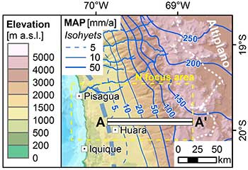
The Atacama Desert but also Namibia are our “playgrounds“ in the CRC 1211. Both regions are characterized by prominent topographic, climatic, and biologic gradients, all expressed in spatial differences. This course offers an introduction to the spatial analysis of raster geodata using geographic information system (GIS) software. Open-source geodata – in specific, digital elevation models, climate raster data, and multispectral satellite imagery – will be quantitatively analysed along transects using the example of the Atacama Desert. This course specifically targets PhD students with no or only little experience in GIS, yet also more experienced users might get to know some new data and tools.
At the end of the course, participants will
- have an overview (only selection!) of open-source global raster geodata
- know how to perform descriptive geostatistical analyses along transects using a GIS
- be familiar with the cartographic basics in GIS to illustrate results as a map
Previous experience with GIS: Not necessary, but helpful
Prior to the course: The analyses will be presented using ArcGIS Pro. The course content is transferrable to other GIS software (e.g. QGIS); however, this might be challenging for non-experienced users.
If not already available on your computer, it is recommended to install a current version of ArcGIS Pro. ArcGIS Pro licenses (only for Windows!) are available for the duration of the second phase of the CRC 1211. Please contact This email address is being protected from spambots. You need JavaScript enabled to view it., state your name and email during registration to the RTD. A licence and a download link will be forwarded directly to your mail account.
Maximum number of participants: 20 (first come, first served). PhD candidates of the CRC have priority to participate. Left spaces can be filled up by interested Postdocs of the CRC (write an email beforehand, if interested).
Registration: Register by e-mail to This email address is being protected from spambots. You need JavaScript enabled to view it. by 15th June 2021.