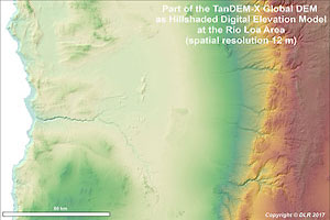
Two grants were approved for the Z2 project, which is very much appreciated. The first grant is the TanDEM-X Global DEM for the whole study area by the TanDEM-X Science Team. This very accurate digital elevation model will give us the opportunity to derive geomorphometric data for many applications within the CRC, such as catchment analysis, landform classifications and drainage system analysis.
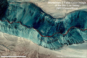
The second grant is provided by the DigitalGlobe Foundation and consist of high-resolution satellite imagery for the study of the sparse vegetation cover in the Atacama desert. In addition, Hexagon Geospatial will provide us a proper software licence. Examples of both datasets are shown in the pictures below. The geometric and radiometric characteristics will be checked during our extensive field campaigns.
We thank all providers for these grants!


