Investigation of atmospheric water supply to the Atacama desert (Chile) from combined in-situ, ground-based and satellite remote sensing observations
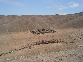
| When searching locations for the climate stations with google earth Jan Schween discovered two rectangular structures at a remote place in the desert. During the 2019 field trip the CRC-Team went there and found a ruin, an abandoned building which raised a lot of interest among our Chilean colleagues. |
Project A1 attempts to understand the moisture supply to the Atacama desert within the current and recent climate. The scientists use remote sensing such as satellites looking from space downwards but also instruments looking from the ground into the atmosphere, as well as in-situ measurements, for example instruments installed in the desert. “We are searching for the sources and pathways of water, which reaches this extremely dry or so called ‘hyperarid’ environment. This knowledge is then used to improve climate models” explains Susanne Crewell, principal investigator of A1.
Meteorological studies of the Atacama desert are rare due to the lack of measurements in this remote area. The installation of a new network of climate stations allows for the first time to observe a lot of meteorological parameters in the Atacama at different locations at the same time and to study how much water reaches the desert as rain, as fog or as water vapor.
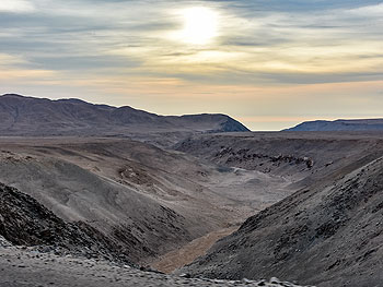
“We know that the Atacama has been hyper-arid for millions of years, nevertheless you see traces of water: creek- and river-beds, alluvial fans, lake floors, etc. These landforms must be very old, must have remained unchanged for incredible long time spans.”
– Jan Schween
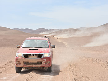
| Commonly, a desert is associated with heat and drought. However, the Atacama can be pretty cold and windy at times. We could feel what the literature term “Andean pumping” means when strong westerly winds, which typically form during the afternoon, hindered any conversation in some parts of the desert. The winds were simply too loud.” |
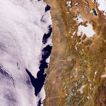
Additionally a set of remote sensing instruments was installed for one year at the airport of Iquique close to the coast. They provided data which will give a unique insight in the dynamics of stratocumulus clouds. These clouds cover a wide area of the western pacific and because they effectively reflect solar radiation and cool the air below, they play an important role in the climate of our planet as a whole. Besides this these clouds often touch the cliff at the coast of the Atacama where they appear as fog and deliver liquid water. This fog is then source of life for a number of fog oases along the pacific coast. Our measurement will provide new insights in the dynamics of these clouds, how they form, what properties they have, and how they change over the day, as well as over one year.
Both data sets enable the characterization of the local climate and water availability in unprecedented detail. Knowing today’s water budget in the Atacama is essential to study the various forms of life which have adapted to the hyper-arid climate. In particular the coastal cliff and the adjacent coastal mountains are an obstacle which prevents the transport of maritime moisture into the hinterland. We aim to determine the atmospheric conditions under which this natural barrier can be overcome.
“It’s a real desert: no apparent life visible, million years old, untouched landscapes. Nevertheless man is present: to exploit minerals like Nitrate, Lithium, Copper ore, etc. we dig the ground, build roads, and to supply the people working there, rivers are deviated, age-old ground water is pumped ...”
– Jan Schween
Publication
-
Böhm, C., Sourdeval, O., Mülmenstädt, J., Quaas, J., and Crewell, S.: Cloud base height retrieval from multi-angle satellite data, Atmos. Meas. Tech., 12, 1841-1860, https://doi.org/10.5194/amt-12-1841-2019, 2019.
Further Information
‘Atacama Now’ - Current Satellite Image Animation:
https://atmos.meteo.uni-koeln.de/~jschween/dry-limit/goes/goes16/
Climate Stations Data Visualization Day by Day:
Contact
Prof. Dr. Susanne Crewell
Phone: +49 (0)221 470-5286
E-Mail: This email address is being protected from spambots. You need JavaScript enabled to view it.
Prof. Dr. Ulrich Löhnert
Phone: +49 (0)221 470-1779
E-Mail: This email address is being protected from spambots. You need JavaScript enabled to view it.
|
|


