11–15 September 2022 | University of Cologne | https://www.geominkoeln2022.de/
The DMG Annual Meeting will celebrate its 100th anniversary in 2022 and will return to Cologne, the city where the first DMG Annual Meeting was held in 1908. We are very much looking forward to celebrating this special anniversary together with you in September 2022!
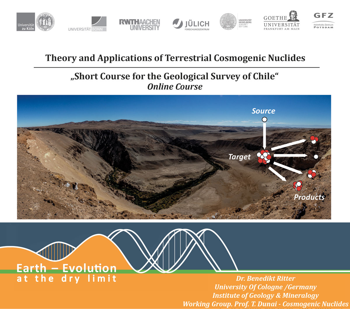
Topic 6 - Earth Surface Processes and Sedimentology
6.1 Earth surface processes in extremely water-limited environments
Benedikt Ritter1, Janek Walk2, Christine Heim1, Jean Braun3
1Universität zu Köln, Germany; 2RWTH Aachen Universität, Germany; 3GFZ Potsdam, Germany
Water is the defining feature of the habitable Earth; it is essential for all life as we know it. Earth surface processes are crucially dependent on the availability of water: the absence of which in any state (solid, liquid, vapour) largely reduces the variety of Earth surface processes to aeolian activity, tectonic and magmatic forcing, and extra-terrestrial impacts. It is evident that transient episodes of increased water availability leave long-lasting traces in extremely water-limited environments by, e.g., fluvial erosion and deposition, pedogenic and microbial crusts, authigenic mineral formation, and weathering. In contrast, some Earth surface processes are still active under hyperaridity, sourced primarily by fog or dew, e.g., crusts, cementations, or mineral phase transitions. In such environments, abiotic processes will inevitably dominate. With increasing water availability biological processes become increasingly important, eventually dominating soil- 7 forming processes and modulating geomorphic evolution. Investigating geo-biological processes across this transition holds the potential to characterize the mutual dependency of life and Earth surface evolution. Earth surface process and their interactions in fully arid to hyper-arid environments are poorly understood compared to their semi-arid and temperate counterparts. Key questions of this session therefore encompass the interdisciplinary and broad research on abiotic and biotic processes, the archives they are preserved in, their spatial and temporal variability, modelling over recent to long-term geological timescales, magnitudes, and mutual interactions under extreme water limitation. We welcome contributions from the fields of sedimentology, geochemistry and mineralogy, geobiology, earth-surface processes and modelling.
https://www.geominkoeln2022.de/
|
|
|
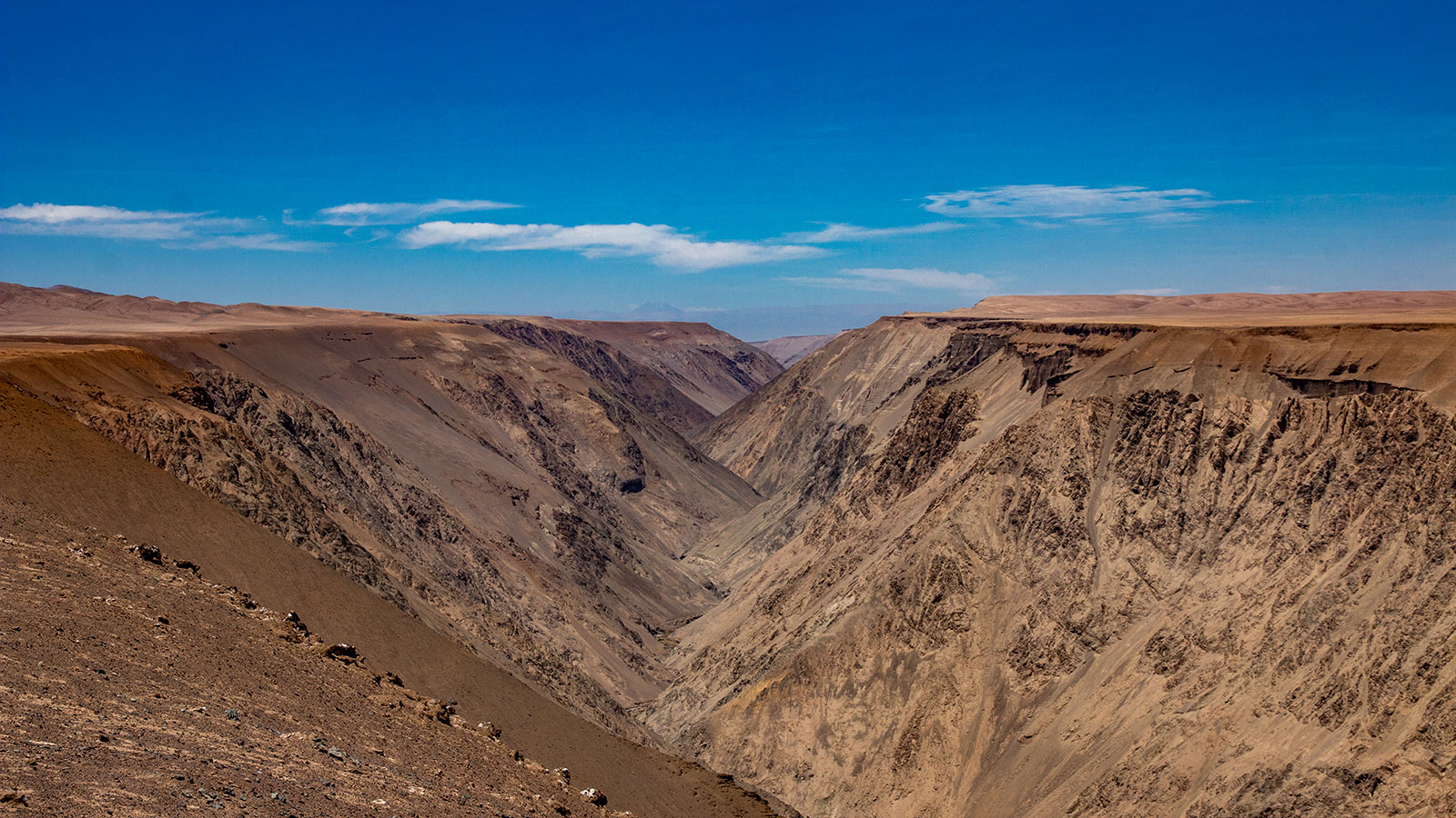
Fig.1: Rio Loa Canyon
Photo: Benedikt Ritter |
|
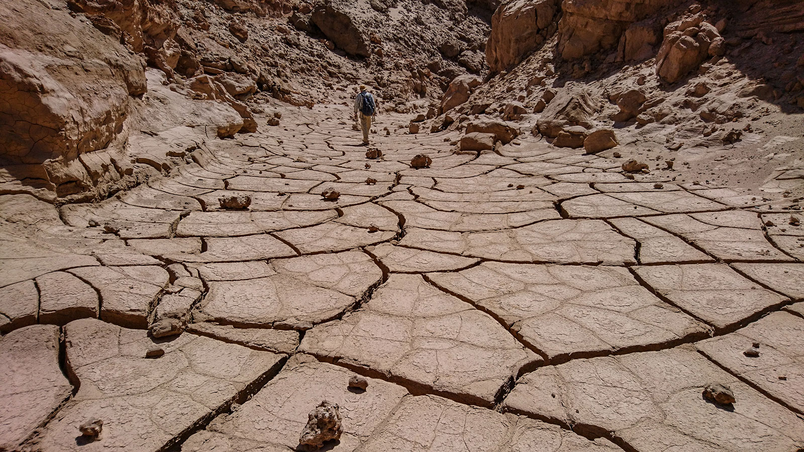
Fig.2: Small clay pan within the Coastal Cordillera near Paranal
Photo: Benedikt Ritter |
|
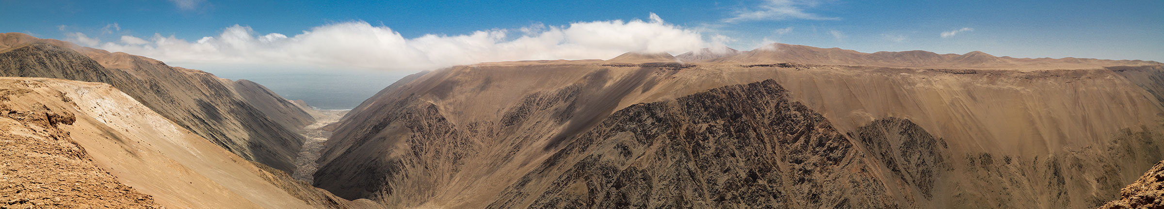
Fig.3: Lomas de la Sal Canyon with large desiccation cracks
Photo: Benedikt Ritter |