New cooperation agreement between CRC 1211 and Andinas Chile
Great news to be announced
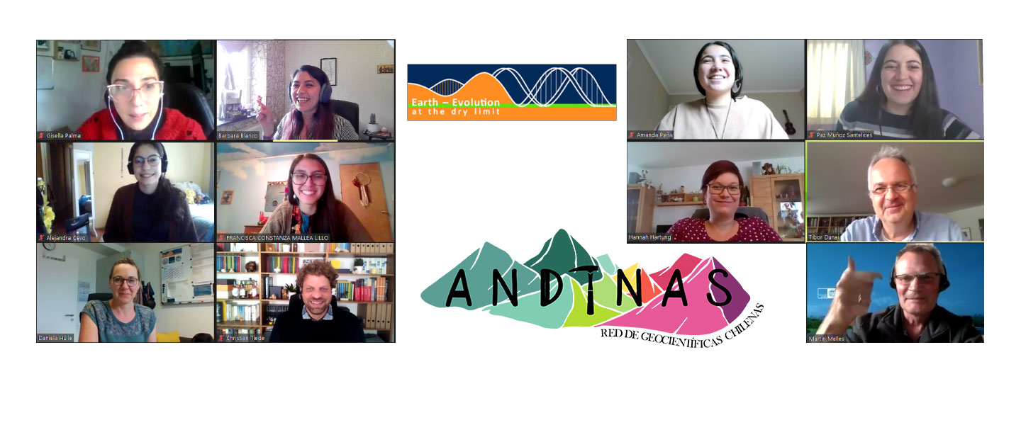 The CRC 1211 is happy to announce a new collaboration with “Andinas Chile” to provide valuable opportunities for all members of the Andean community, such as participation in training courses, attendance at seminars, financial support for research proposals, and short internships for master, Ph.D., and post-doc programs.
During a virtual meeting between representatives of Andinas Chile and the CRC 1211 different opportunities were discussed for a mutual collaboration. Andinas Chile is an independent non-profit organization that reaches out to scientific women in different disciplines in Geosciences and Biology in Chile. Andinas Chile is a great space for all women in Geosciences and a perfect stimulus for girls curious about geology, geophysics, biology or other similar areas.
All members of the CRC will benefit from this new alliance and collaborate with the main goal of Andinas: generate and share geoscientific experiences and make them more visible to younger generations, along with strengthening the women geoscientific network in Chile and around the world. All this creates unique opportunities for mutual learning between students and professionals of different ages.
Do not hesitate to get in contact with them! More information about the activities of Andinas Chile can be found on social media:
Instragram: https://www.instagram.com/andinaschile/
Linkedin: https://www.linkedin.com/company/andinas-chile
AndinasChile : https://www.youtube.com/channel/UC7_5EHEzQxuARG9OiNZ7ZyQ
Website: coming soon
The CRC 1211 and Andinas Chile are looking forward to an active and fruitful collaboration between Chilean/German students and researchers, facilitating future investigations and future of scientific collaborations.